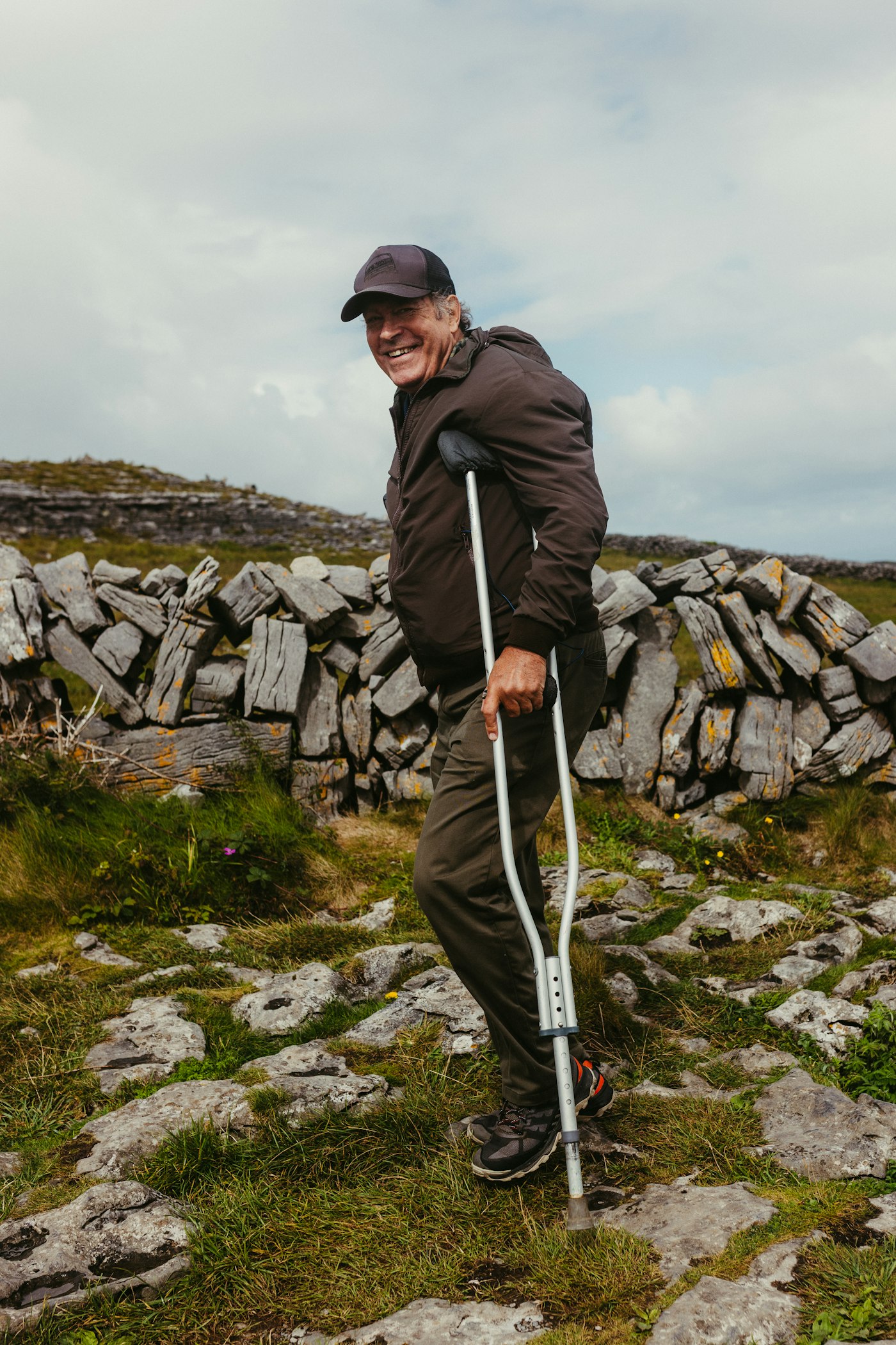
Most crutches are designed for hospital hallways. We build terrain-adaptive aids for the mud, sand, and unpaved roads where people actually live.
This is not a supply chain problem. It is a design problem.
For people with spinal cord injuries, a fall on uneven terrain can cause permanent, irreversible damage. Standard crutches were never designed to prevent this. We designed one that does.

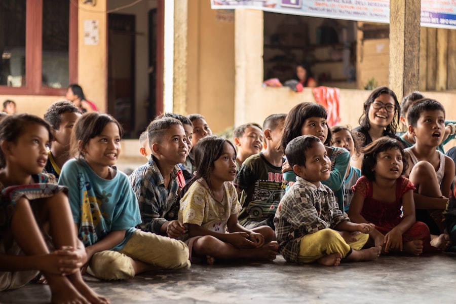
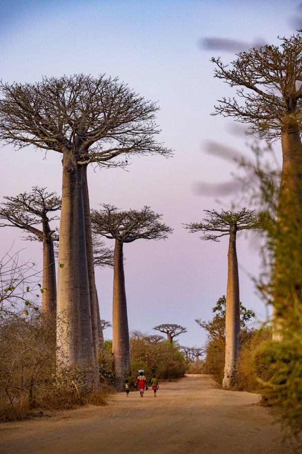
Across rural India, sub-Saharan Africa, and Latin America, most people with mobility impairments walk on mud, sand, and rocky unpaved roads every single day. The crutches and mobility aids they depend on were designed for flat hospital hallways. They were never tested on the surfaces where most patients actually live.
The results are predictable. Falls are frequent. Secondary injuries are common. And many patients quietly stop using their aids altogether, becoming fully bed-ridden not because they have to, but because the device failed them. For people with incomplete spinal cord injuries, one bad fall can mean permanent paralysis.
This is not a resource problem. Devices exist. Funding exists. The gap is design. No one has built a crutch for the terrain most patients actually face. Until now.
People globally need at least one assistive product
Access rate for assistive products in sub-Saharan Africa
Of wheelchair users experience falls annually due to terrain
Of people who need wheelchairs actually receive them
Click any region on the globe to see exact terrain conditions and how our device addresses them.
Our pilot zones span rural India and East Africa, targeting communities where terrain-related falls are most frequent and mobility aid access is lowest.
A modular foot attachment that replaces the rubber tip on any crutch. The passive version needs no power and no maintenance. The smart layer adds real-time fall detection and automatic correction.
This single change in geometry is why people fall. A standard rigid tip makes contact at one point and rocks off the highest bump it finds. The tri-lobe TerrainFoot lets each lobe settle independently, keeping three points of contact on the same uneven ground — color-coded below by what it's actually made of: soft mud in the low points, packed dirt on the slopes, loose rock on the high points.
A flat, rigid disc. On uneven ground it touches one high point and tips, transferring the full fall-arresting load through whichever edge happens to land first — the mechanism behind the 40–70% monthly fall rate on unpaved terrain.
Three TPU lobes on a tensioned wire network move independently, each settling to the terrain height beneath it. Load is passively redistributed across all three contact points with no electronics and no moving parts beyond the wire.
A forearm crutch, a walking stick, an axillary crutch, an early prosthetic concept — the terrain doesn't care which one someone leans on, and neither do we. The engineering below exists so that whatever device a person already has, it can be made to actually hold up where they live. Drag to rotate, scroll to zoom.
The prosthetic adapter and terrain ankle are early-stage concepts only. These visualizations are basic representations of design intent, not final products. We are sharing them to illustrate the long-term vision for where this platform can go.
Our model does not depend on a supply chain. It depends on knowledge. Once someone is trained, they can serve their community indefinitely.
We run two-day camps in rural communities where local health workers and repair shop operators learn to print, fit, and maintain the devices themselves.
Certified operators use the free design files and a simple starter kit to produce and distribute devices within their own community. No supply chain, no middlemen.
Each operator continues serving their region long after the camp ends. The network grows with every new camp, and the cost per patient falls each year as the system scales.
A patient with post-polio paralysis, a stroke survivor, and someone with diabetic neuropathy all fall differently — and rural clinics rarely have the equipment to tell why. Gait data collected by Tier 1.5 and Tier 2 isn't just fall-prevention telemetry — it's a continuous signal of motor nervous system function that has never been captured at scale in the populations who need it most. Different neurological conditions produce computationally distinguishable gait signatures.
Walking is a closed loop between the brain and the body, repeated roughly once every second. Watch the signal travel the loop below.
The brain plans the next step and fires a movement command down the spinal cord.
Descending motor tracts carry the signal toward the limb.
The impulse reaches the leg muscles — the exact step post-polio and diabetic neuropathy damage.
Muscles contract, the foot meets the terrain, and force is generated — watch this happen live in the muscle panel below.
Pressure and balance signals travel back to the brain, closing the loop before the next step.
Contraction strength mirrors the force curves above — switch conditions to see the asymmetry move from the chart into the muscle itself.
Illustrative gait signatures based on published asymmetry literature, not real patient data — exactly the gap the Global Rural Mobility Dataset is built to fill.
Anonymized, GPS- and terrain-tagged gait data from every Tier 1.5 and Tier 2 deployment, building the first longitudinal record of real-world crutch use on unpaved terrain at scale. Rural LMIC crutch gait data currently has zero coverage in global research literature. Five analyses are planned from day one:
Tracks gait quality, stride symmetry, and fall frequency per patient across the full 90-day recovery window, separating real recovery from noise.
Distinguishes post-polio, stroke, and diabetic neuropathy gait signatures from stride and force data alone — a diagnostic signal no consumer mobility aid captures today.
Cross-references every fall event with the soil and terrain tag from the Tier 1.5 conductive strip — the missing variable in all existing rural gait research.
An LSTM trained stride-by-stride to predict a slip 200–400ms before it happens — the same window the Tier 2 haptic alert fires in.
Correlates lobe wear and wire-tension loss against terrain type and distance walked, feeding straight back into the next TerrainFoot design iteration.
A community health worker checking on a patient 40km from the nearest clinic doesn't have signal, and can't wait for it. Every Tier 2 device pairs over BLE to an offline-first Android companion app so that follow-up care happens on the spot — the same app that quietly feeds the Global Rural Mobility Dataset back to the mission.
Combines IMU tilt, per-lobe force, and stride timing into a single live score — no internet connection required.
Bilateral force comparison across all three lobes, the same metric that powers the neurological condition classifier.
Step count and terrain-tagged fall events sync automatically whenever the phone reconnects — built for patchy rural connectivity.
A simplified dashboard certified community health workers use during baseline, 30-day, and 90-day check-ins.
Every Tier 2 device we deploy would collect terrain and gait data from rural patients who are entirely absent from global research. Our plan is to publish it annually, free to researchers everywhere, and eventually license it to pharmaceutical and medical device companies to help fund the mission.
Free to researchers globally under Creative Commons Attribution
Potential recurring revenue from pharma and medtech partners, reinvested entirely into training camps and device production
Academic co-investigator partnership for ethics review, currently in planning
Planned annual data descriptor paper for academic credibility
Your donation goes directly toward device materials, training camp delivery, and getting aids to patients who have never had access to tools built for where they actually live.
Or email us: commongroundmobility@gmail.com
Beyond donations, we are looking for people who want to be part of building this from the ground up. Each of these roles is essential to reaching our first 50 patients.
Physiatrist or orthopedic surgeon with LMIC experience for our pilot and ethical review process.
On-the-ground presence in rural India or East Africa for patient identification and camp hosting.
Connections to SCI foundations, global health grants, or anyone who believes this should exist.
No corporate backing, no large team — just two students in Frisco, TX who believe a $4 design problem doesn't need a million-dollar budget to solve.
Leads business strategy, software, and the computational biology research behind the Global Rural Mobility Dataset — including grant pipeline, partner outreach, and the gait-data analyses planned for Tier 1.5 and Tier 2.
Leads hardware design and biomedical engineering — from the tri-lobe TPU foot geometry and wire-tensioning system to the Tier 2 sensor stack, servo actuation, and early prosthetic concepts.
Common Ground Mobility was co-founded in 2026 by Aarav and Rithvik, high school sophomores in Frisco, TX. Every design file, BOM, and outcome will be published in the open — proof that you don't need permission to start solving a problem this big.
Clinician, funder, partner, or maker. We want to hear from you.
Three specific conversations we are trying to have right now.